21st August 2023

Shaping Cities and Shifting Minds with Urban Design

Shaping Cities and Shifting Minds with Urban Design

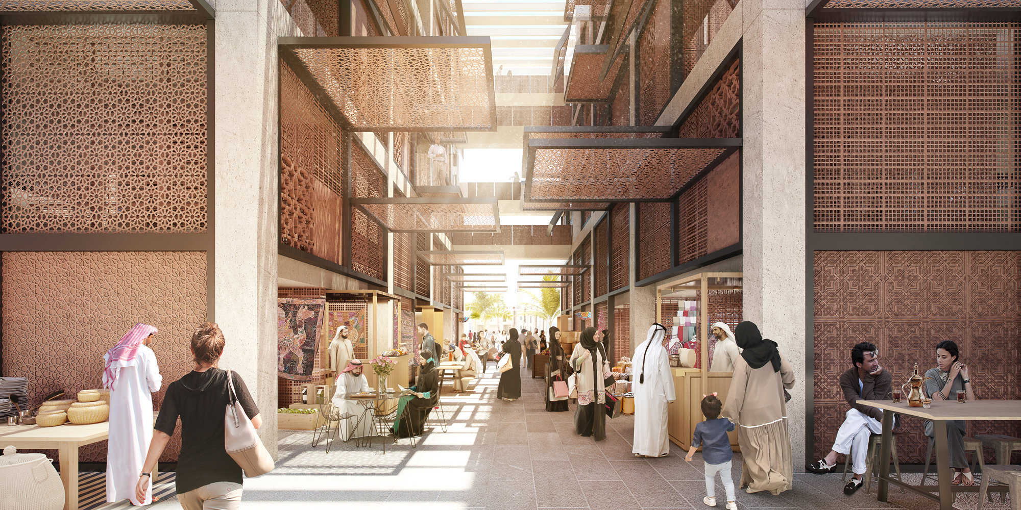
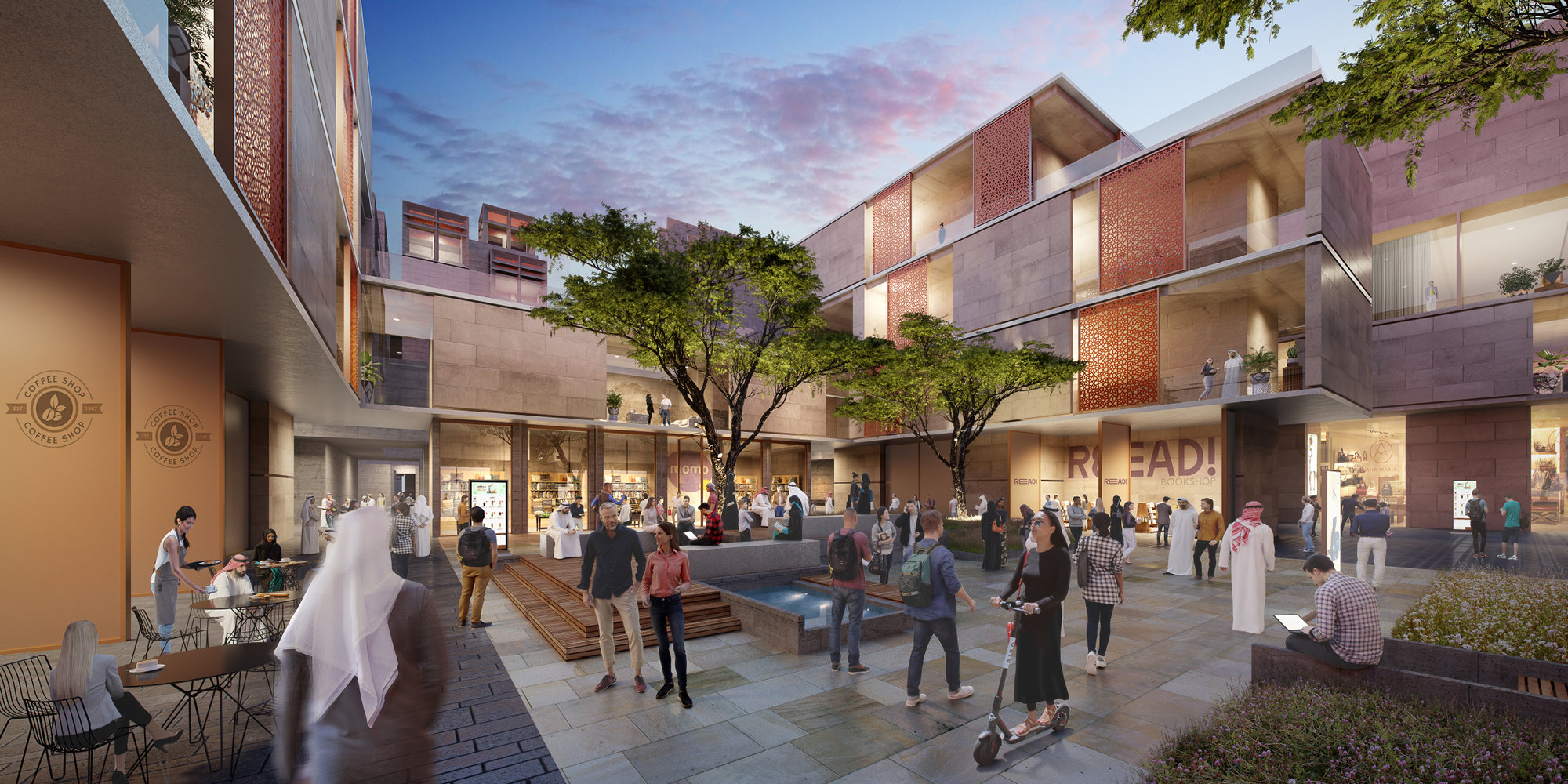
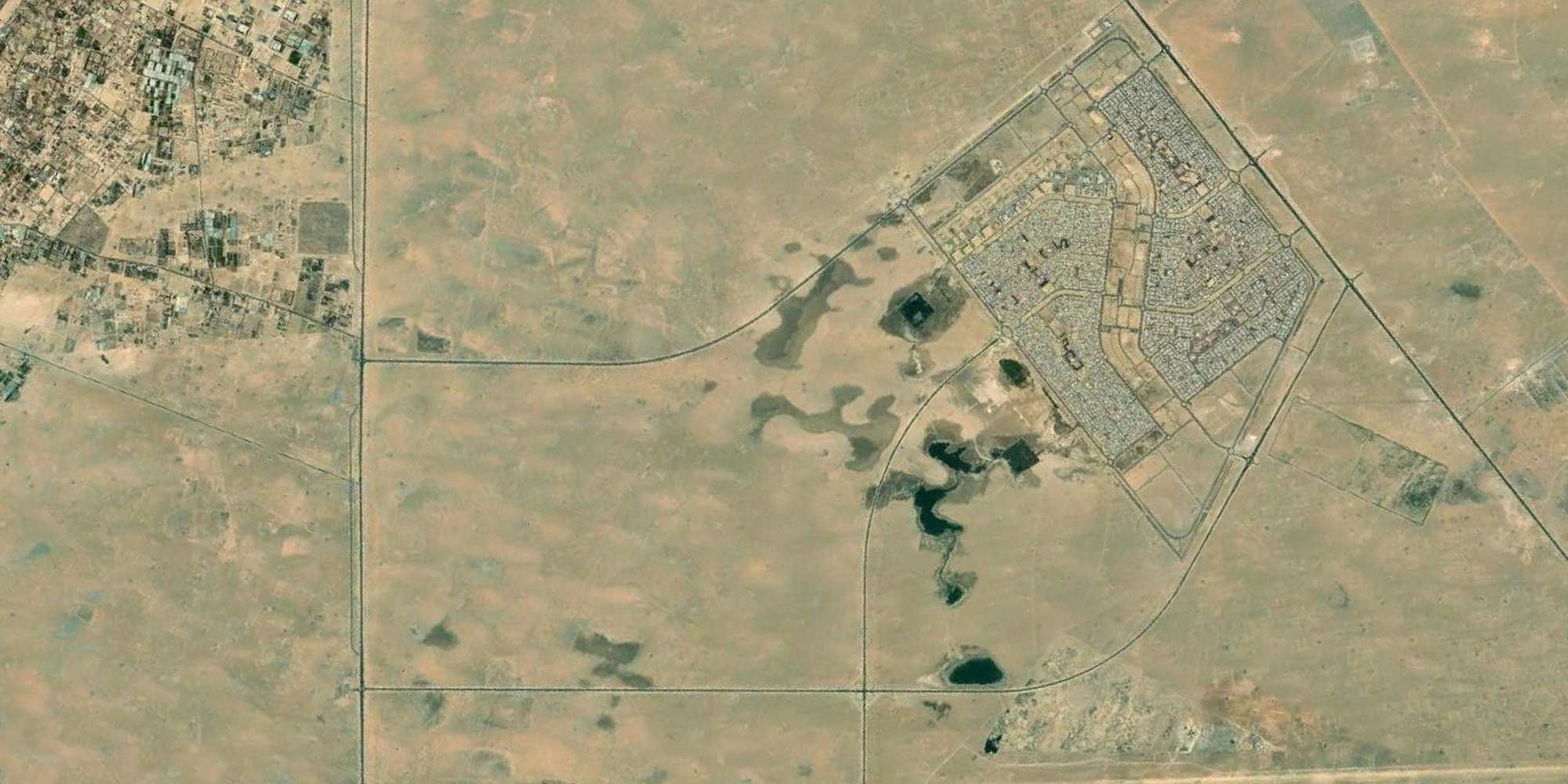
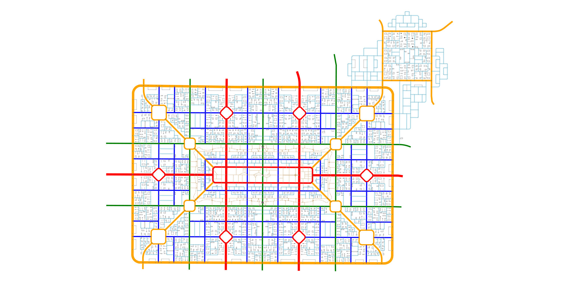
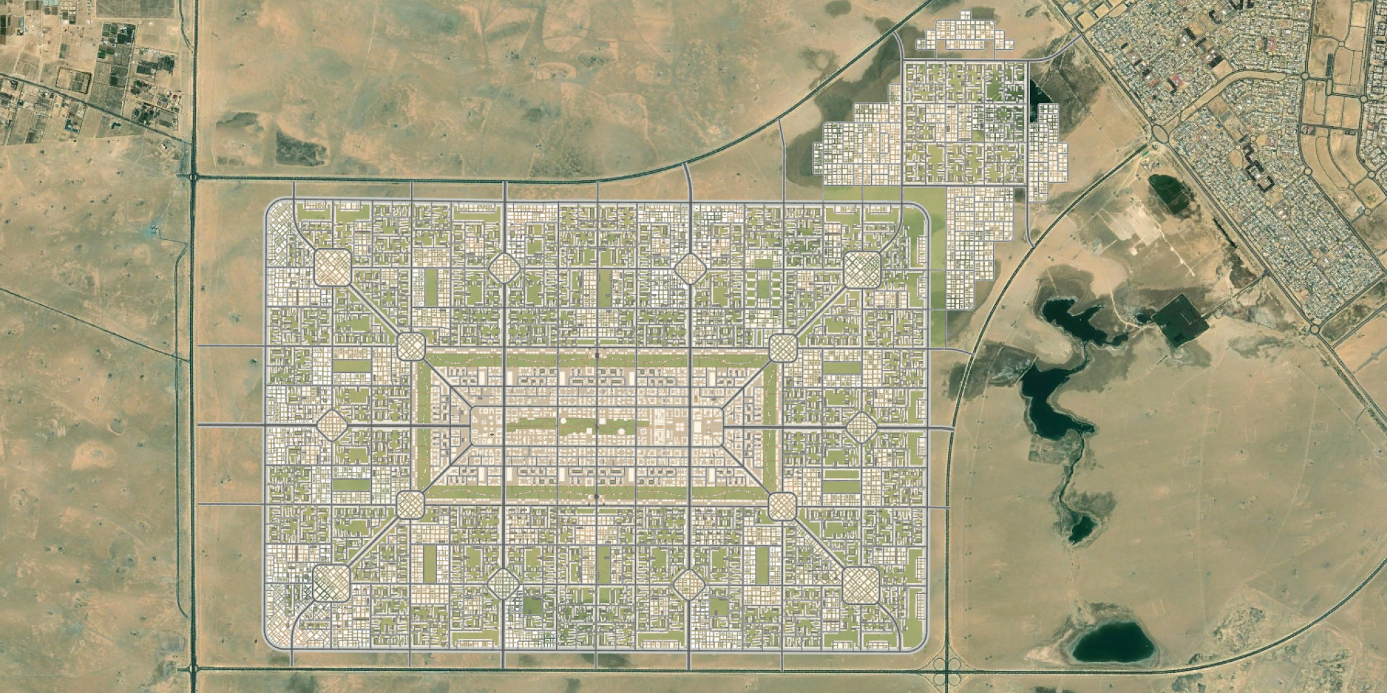
Last month, Bruno Moser, Head of Urban Design at Foster + Partners, and Mateo Neira, Data Scientist at Foster + Partner, presented ‘Shaping Cities and Shifting Minds with Urban Design’ at the Esri User Conference in San Diego. Bruno and Mateo discussed the South Sabah Al-Ahmad Masterplan in Kuwait, creating a library of cities, and building geography into design processes.

Watch the video and read an edited transcript of the talk below.

Bruno Moser:

Foster + Partners brings together architects, engineers, landscape architects, urban designers and social scientists to design buildings, neighbourhoods, and sometimes entire cities, using geo-design principles.

In 2017, the practice was appointed to develop a masterplan for a new city in Kuwait, with a population of 280,000 people. Covering a site that spans 24 square miles, the South Sabah Al-Ahmad Masterplan is designed at a human scale and has sustainability at its core.

We have created shaded cycle routes and walkways to promote cycling and walking as sustainable modes of transport. We are also embedding a range of amenities in the residential district, to create a city of short distances. At the heart of the development, there is a Central Business District, which will provide new jobs, as well as hosting cultural and civic functions.

In order to design the world we want to see, first we need to understand the world as it is today. Ten years ago, Richard Saul Wurman developed the idea of the Urban Observatory. This is a platform that allows us to compare different cities at the same scale. We have built on this idea and created our own library of cities.

Starting with a simple street network, we run an algorithm that reveals the spatial hierarchy within this system – much like the blood vessels in our bodies – we can see that our cities have arteries, both big and small. When we view the location of businesses, we can start to see patterns between the location of those businesses and how they are clustered along the main arteries.

We are also able to look at the relationship between density and urban form. By selecting a density that is relevant to our project, we can zoom into any of our maps and start to see the building topologies.

At Foster + Partners we build geography into our design processes. We need to understand the patterns and relationships, the forces that shape our cities, so that we can make informed decisions when designing new projects.

Mateo will demonstrate how we are using ArcGIS CityEngine as a tool to inform and enhance the design of the South Sabah Al-Ahmad Masterplan.

Mateo Neira:

How do we create a successful city that people want to live in?

Firstly, we need to understand the site’s geography and constraints. We look at an aerial image along with existing street networks. In this case, there is a development in the north and planned developments to the east, west and south. As the site is at the heart of the southern region, it is important to create strong regional links to ensure sustainable future economic growth.

Together with transport engineers and designers, we lay out the road network, creating the main streets that will provide regional connectivity. Then we add our secondary and tertiary streets that will define and connect the different neighbourhoods and lastly, our local streets that will connect every building. In doing so, we reduce the total amount of road space allocated from the usual 40% in the region to 30%, improving efficiency, reducing costs, while providing more open space for people to enjoy.

Once we have our street network, we can start distributing the different land uses. To help us do this, we run a connectivity analysis to understand potential movement flow and apply this to our blocks. We see that the diagonal streets, along with the area in the centre, have the highest level of connectivity. This makes the centre of the masterplan a perfect place for the Central Business District. Other uses, such as educational facilities and community centres, are distributed along the diamond shapes that intersect with our main streets.

Once the basic strategies are in place, we want to start distributing the open spaces. These are key to improving air quality, reducing the heat island effect and promoting social interactions, creating a more sustainable and liveable city.

We also want to ensure that everyone is within a 400-metre walking distance of a green space. We have created a park around our central business district and another in the centre. Lastly, we distribute open green spaces along the edges of the neighbourhoods.

We then distribute the rest of our land uses, keeping in mind our connectivity analysis, allocating government offices and retail uses to our Central Business District. Health, educational facilities and community centres are positioned in other high connectivity areas, while residential zones are located in the quieter parts of the site.

Finally, we generate our buildings. When doing so, we consider the climate of the region, ensuring that we are responding to the high temperatures, sandstorms and possible flash floods, with sustainability and resiliency in mind.

Within the Central Business District, we want to ensure that we are creating places people want to live. Pedestrian paths connect to small public spaces, while buildings and additional canopy structures help to provide shade.  

The design process is an iterative collaboration between multiple design professionals, bringing together all of the elements needed to create a city that will respond to the needs of the people who will live here.